
Sources for a Pocahontas County Neighbor Lookup
The map comes first. Once you can see the parcels bordering the subject property in Pocahontas County, the Assessor records and any recorded plat tell you what each parcel entry actually claims. The statewide viewer does offer geometry and buffer-search controls. It does not guarantee a one-click list of every adjoining owner, though. Each source answers a different question. A parcel map shows shape. A street search builds a list, and a plat fixes lot lines.
| Block source | What it can show | Access and limit |
|---|---|---|
| WV Property Viewer geometry | Subject parcel shape and nearby map geometry | Free statewide viewer; live adjacent result not captured |
| Assessor street or parcel search | Owner, mailing address and parcel detail for each match | Free search; street results must be checked parcel by parcel |
| County Clerk plat index | Recorded lots and subdivision layout | Search the recorded plat or ask about a book/page |
| Tax mapcard | Parcel identifier and sales-history link | County map viewer; tax reference rather than survey |
Remember what a parcel record means. The tax roll names an owner of record. It is not the person who waters the garden next door. Mailing addresses can sit in another state entirely, and the map viewer may show only one owner in its first result. When a specific ownership statement matters, open the adjacent parcel's detail page. Read the deed.
Geometry and Buffer Tools for Pocahontas County Neighbor Lookup
The statewide viewer lists geometry and coordinate modes, and its interface includes a buffer-search control. A buffer lets you inspect land within a chosen distance of a selected feature. It will not hand you an automatic list of adjoining owners. Treat it as a lens. Select the subject parcel, and work with the visible geometry controls. Then confirm each candidate by its county parcel identifier. That step comes before drawing conclusions about Pocahontas County property records. The WV Property Viewer screenshot shows the statewide parcel interface used for this map work. It gives you the geographic starting point. It does not certify a parcel boundary or vouch for the completeness of owner names.
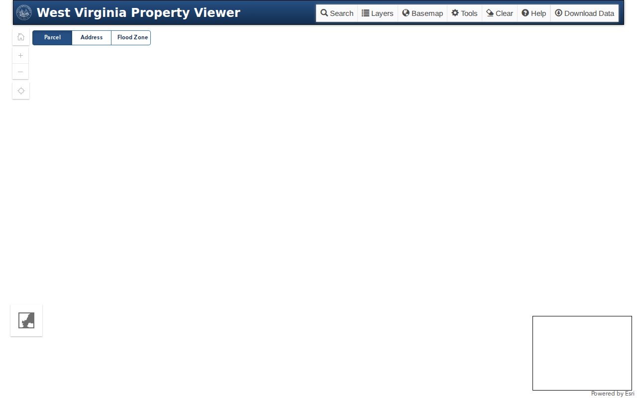
Keep one habit as you move into the Assessor search: the subject parcel's map key stays distinct from the keys of every nearby parcel.
Street Searches for Pocahontas County Neighbor Parcels
WV Assessment Search exposes Street Name, Mailing Address, Owner Name, map, parcel and legal-description fields. A street search can return several parcels at once. Build a candidate list from it. Match each candidate to the viewer's geometry and its district, map and parcel key. Only then trust the entry as a Pocahontas County neighbor. Not every parcel the street search returns touches the subject property. Rural Pocahontas County adds a wrinkle. The statewide viewer accepts E-911 addresses but rejects rural routes and PO boxes. A road name or mailing label may not land on the right tax parcel. Read the map and the assessment record together. That helps separate a situs address from the owner mailing or tax billing address.
Mapping Adjacent Parcels for a Pocahontas County Neighbor Lookup
Locate the subject parcel with geometry first. A buffer can frame the nearby search area. A close-scale map view then helps you tell parcels that truly touch. It also shows parcels that merely sit across a road. Read the parcel identifier off each candidate. Then query the Assessor for the owner and mailing fields. This is a boundary and land-record workflow, not a method for identifying residents.
- Find the subject E-911 address in the statewide WV Property Viewer and open parcel detail.
- Use geometry or buffer controls to inspect candidate parcels around it, checking the map at a close scale.
- Write down each adjacent parcel key and search it separately in WV Assessment.
- Compare lot lines with the recorded plat and use the deed when a legal description matters.
- Parcel key
- The county map/record identifier for one tax parcel.
- Adjacent
- Near or beside a parcel; verify whether the boundary actually touches.
- Buffer
- A geometry search area around a selected feature.
- Plat
- A recorded map of lots or land divisions.
Town Lines Affecting Pocahontas County Neighbor Parcels
A parcel's mailing city, its ZIP, and its municipal location are three different facts. Marlinton serves as the county seat. The state profile lists other towns and communities around Pocahontas County. Annexation lines, ZIP crossings and unincorporated pockets are not mapped out for you in one tidy layer. A neighbor on the same road can carry a different postal place name. That neighbor still sits inside the county record system. Rely on county parcel geometry and the recorded legal description for land identity. When a municipal boundary affects a land-use question, ask the town office or the county mapping authority to confirm status. Never let a postal label alone decide whether two parcels share a jurisdiction.
Flood and Plat Context for Pocahontas County Neighbor Lookup
The Assessor search includes a flood-hazard field, and its site offers floodplain determination information. That field adds useful context when two neighboring parcels share a block. It is not a zoning map, though. For a full land-use picture, ask the Assessor about a floodplain determination. Ask the town about its own permit records too. For a subdivision block, the County Clerk's indexed plats remain the record route. They cover lot layouts. A GIS polygon is not a survey. Compare the plat and the deed description before treating a map gap, road strip or shared edge as fact in Pocahontas County property records.
Privacy Limits for a Pocahontas County Neighbor Search
A Pocahontas County neighbor search can surface tax parcels and owner fields. It cannot confirm who lives in a home or why someone occupies land. West Virginia's Address Confidentiality Program gives qualifying participants a substitute address. Never work around a protected address. Never combine public records to target a person. If the question is a shared boundary, use the parcel and plat. If it is an owner entry, confirm the deed.
Lawful use. Use adjacent-parcel information for boundary research, land diligence and civic questions. Do not monitor, stalk, harass, threaten or harm anyone with records or map data.
A parcel-centered approach beats a street search every time. Start with the subject parcel's district, map and parcel key. Pull its legal description too. Log each nearby polygon's key on its own line. Treat a street label or an owner surname as a lead, never as proof of contact. Rural Pocahontas County makes this discipline matter. One record can carry a mailing place, an E-911 location, and a bill-to address that point to three different spots. The statewide viewer refuses rural routes and PO boxes in address mode. Switching to parcel or geometry search is the more dependable fallback.
Once a nearby polygon looks promising, run its map-parcel number through WV Assessment. Read the public owner field there. Then compare it against the current deed reference. One person may hold several parcels. A single parcel can carry a co-owner or an entity name the map label never shows. The detail panel holds the fuller story. Keep the record date attached to anything you share.
"Nearby" does not mean "adjoining." A road right-of-way, a stream, an intervening strip, an old lot division, or an unsurveyed tax line can all break contact. That contact breaks between parcels that appear to touch. The buffer tool inspects a chosen area. It is not a certified list of bordering tracts. Access and easement questions call for the recorded plat and the deeds. Where the ground location matters, they call for a survey too. Boundary questions call for the same. A property owner question stops at the public record. Respect the address protections West Virginia's ACP provides.
Never assume the first name in a viewer result is the whole ownership. Open the parcel detail and save the parcel key. Use the owner field as your entry into the Assessment search. When a deed lists multiple parties, the map label may be abbreviated to the point of uselessness. The same happens when an LLC appears as grantee. The Clerk's recorded instrument is where the full names live. The county publishes no block-level roster or HOA layer through the viewer. So evaluate candidate parcels one at a time. Let the recorded documents settle who actually owns each tract next door.