
How to Search Hillsboro Property Records
Start with the E-911 street address in the WV Assessment portal. When an address is uncertain, the owner, parcel, map and legal-description fields still work. Write down the owner name, mailing address, situs and parcel key. Also note the flood-hazard field and the deed book and page. Each detail helps the next step. Take the transfer to the County Clerk's deed index. Take the account and tax year to the Sheriff's WEB Tax Inquiry. Take the location to the county map viewer. A building or zoning question in Hillsboro belongs with the town office. The county parcel card does not document every municipal land-use file. So a call to town hall can fill the gap.
- Enter the Hillsboro E-911 address in WV Assessment; if it fails, try street, owner, parcel or legal description.
- Capture the full parcel key and deed book/page from the matching card.
- Check the County Clerk instrument and WEB Tax Inquiry account.
- Use county GIS geometry to locate the parcel and adjacent land.
- Ask Hillsboro for permits or zoning files and the county Health Department about septic records.
The shared portal fields are laid out in the Pocahontas County property search guide. This page stays with the Hillsboro address and land-use questions.
Where Hillsboro Property Records Are Kept
Four county offices divide the work in Pocahontas County. The County Clerk is the land-record custodian, the Assessor keeps parcel and value data, the Sheriff provides tax-account access, and the county map tools display tax geometry. Hillsboro itself appoints no assessor or recorder. Town-run permit, zoning and code files sit apart from all of that, and the town publishes no online lookup, search fields or fee schedule. Ask the town office directly for address-based records. Whatever it provides, connect it back to the county parcel card so the property records tell one coherent story.
Pocahontas County Records
The county Clerk, Assessor, Sheriff and map tools hold Hillsboro's deed, assessment, tax and parcel trail.
Hillsboro Permits and Zoning
No official Hillsboro web permit, zoning or code lookup was located.
Ask the town office for address-based building and land-use records.
Town contact details were not verified in the research.
Address and Mailing Clues for Hillsboro Property Records
Hillsboro's ZIP geography is not settled from official sources alone. Its ZIP may cross town limits. PO box handling and historic ZIP changes need confirmation too. Those questions call for USPS ZIP Code Lookup and E-911 search rather than assumption. The statewide viewer skips rural routes and PO boxes. An address may fail there. Try the Assessor's Street Name, Mailing Address, owner, parcel or legal-description fields instead. Keep the physical address separate from the owner mailing or tax billing address. A small town sits ringed by rural tracts. A postal city label proves nothing about municipal limits there. Two parcels can share the Hillsboro name while sitting under different jurisdictions. For reliable Hillsboro property records, match a county parcel key and legal description first. Then you can trust the mailing place.
History Sources for Hillsboro Property Records
History work in Pocahontas County runs through the library system. Its branches include Hillsboro, and the McClintic Heritage Room anchors the local-history collection. Patrons can search the digitized Pocahontas Times. Ancestry is free to use in the library. These tools often surface a family name or an event tied to a parcel. No named Hillsboro plat appears in the official record. No verified lot-and-block sequence does either. Treat library finds as leads rather than proof. The library collections page describes the Heritage Room and its local research services in full.

A book or newspaper clue is a starting point, not ownership evidence. Use it to locate the deed or plat itself.
Hillsboro Property Records: Neighborhood and Plat Names
No formal Hillsboro subdivision names or plat names appear in the verified official record. The same goes for eras, lot-and-block runs and parcel prefixes. Treat the table's town reference and local history sources as just that, not as plats. When a deed names a lot or tract, search that exact wording in the Clerk's index. Then compare the legal description to the tax parcel before going further. A generic neighborhood label on an unverified record creates errors, not clarity. Resist the shortcut.
| Neighborhood / Subdivision | Era | In the Records |
|---|---|---|
| Formal Hillsboro plats | Names and eras not verified | Ask the County Clerk for the plat index and book/page |
| Hillsboro town reference | Listed as a county town; incorporation date not verified | Use town office for boundary records, not as a parcel key |
| Hillsboro library branch | Local-history access point; not a subdivision | Use newspapers and books as leads, then verify deeds |
Pair a verified plat name with the parcel key and legal description. The Pocahontas County parcel maps guide explains the viewer and why its tax geometry never replaces a survey.
Hillsboro Property Records and Unverified Town Boundaries
The state profile lists Hillsboro as one of Pocahontas County's towns. What it does not establish is the incorporation date. It also omits any annexation ordinances, boundary growth or unincorporated pockets. That history cannot be reconstructed from a mailing label or a county parcel outline. Ask the town office for boundary material. County mapping and recorded plats will still identify the parcel itself. The distinction matters when comparing nearby properties. Some share a postal label but not municipal status. Hillsboro property records still flow through the county custodians. The town can clarify its own jurisdiction and land-use files. The West Virginia county profile lists Hillsboro among Pocahontas County towns.
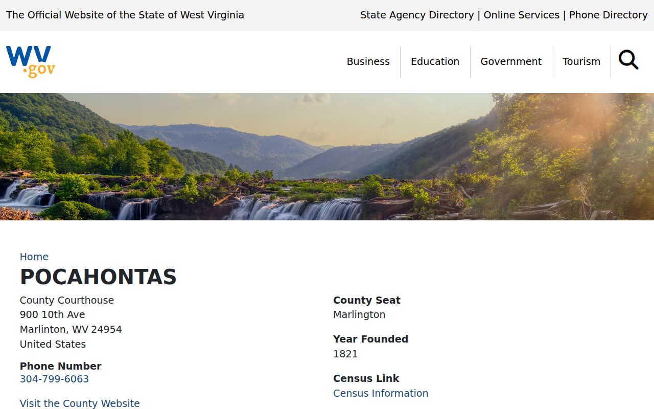
The state roster confirms the place name and nothing more. It carries no parcel boundaries or annexation history.
Hillsboro Property Records: Permit and Septic Requests
Hillsboro publishes no online building-permit, zoning or code-enforcement lookup. Search fields, fees, case status and web coverage are not documented publicly. Ask the town directly for address-based permit or land-use records. Then tie its answer to the county parcel card. Septic questions take a different path. The county Health Department holds those answers, not the Assessor or any guessed city portal. The Assessor's floodplain material requires a determination filed before structures go up. That is county guidance, plain and simple. It is not evidence that Hillsboro runs a web permit service. Confirm permits, floodplain documents and septic files with whichever office actually keeps each record.
Hillsboro Property Records and Assessment Timing
Hillsboro parcels follow the statewide tax calendar. Ownership, use, and value are determined each July 1 for the next calendar tax year. Assessed value generally runs 60 percent of fair market value. The county commission's Board of Equalization and Review begins February 1. The Assessor also publishes homestead, farm-use, and managed-timberland details. These can matter for a tract at the town edge or in the surrounding rural area.
No Hillsboro-specific revaluation effect, value trend, or fast-appreciating district appears on file. Rely on the card's tax class and assessment date instead. Do not read a trend into the town name. A tax value is for assessment, not a market appraisal.
Recent Sales in Hillsboro Property Records
The county map notice says its 2026 assessment data was collected July 1, 2025. For a later sale, it points users to a parcel's "View Mapcard (Sales History)" PDF. That instruction reaches Hillsboro parcels through the county system. A deed may have been recorded after that snapshot. Compare the mapcard date and recorded grantee against the ordinary assessment owner field then.
The newest County Clerk deed still controls the recorded transfer. A mapcard is the path to a later sale clue. This helps most when the situs or mailing label predates the deed. Keep the book/page and legal description with your search notes.
What Hillsboro Property Records Show and Their Limits
Hillsboro property records can show the county's recorded deed. They also cover the owner field, tax account, and mapped parcel. They prove no exact boundary or market price. Building-code status and every permit stay outside these files too. Hillsboro itself publishes no online portal, so ask the town directly about local land-use files. The county Health Department handles septic questions.
Lawful use. Use Hillsboro property records for land, ownership and civic research. Do not use names or addresses to stalk, harass, threaten or harm anyone; confirm consequential records with the custodian.
The state county profile confirms Hillsboro as a Pocahontas County community. It establishes no incorporated boundary. No ZIP-only parcel list or town annexation map appears there either. A Hillsboro mailing label is only a clue, not proof the land sits inside a municipal line. Identify the tract by map-parcel and legal description. Then ask the town office whether a boundary or local land-use rule affects the question.
Septic and onsite-wastewater questions go to the county Health Department. Give the office the street or community name plus the map-parcel or legal description. A postal address alone may not distinguish rural land. Treat any health or permit file as its own property record. It can describe an installation or approval. It does not replace the deed, plat, or Assessor parcel card.
Hillsboro's local-history route differs from the county land index. Library collections, the searchable Pocahontas Times, and in-library Ancestry access can supply a person, event, or place spelling to try in a deed search. A family clue may surface a name. Verify the actual grantor, grantee, date, and acreage in the County Clerk instrument. A historic mention is not proof of ownership.
A practical first pass starts in the statewide viewer. Search the current physical address, open parcel detail, and copy the map-parcel and legal description. Rural addresses sometimes return nothing. Move to the Assessor's street-name, owner, or parcel fields instead. A Hillsboro post-office label is not a street location. Take that stable parcel reference to WEB Tax Inquiry for the account. Take it to the Clerk's index for the deed. These steps keep the town name, a postal route, and the actual tract from blending into one search key.
For a town-line or local permit question, ask the appropriate town office to identify its records and jurisdiction. Septic information comes from the county Health Department as a separate environmental or installation record. Neither answer changes what the deed conveys. The county assessment map is not a zoning map. Nor is it a surveyed boundary.